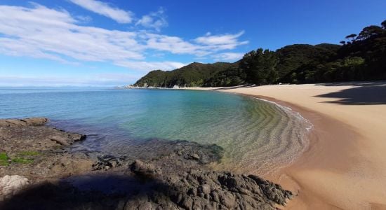
 ©
Thomas Wahlgren
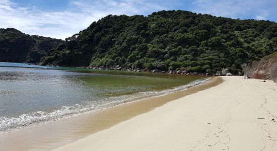
©
Thomas Wahlgren
 ©
Najla kunhimon
Google
©
Najla kunhimon
Google
 ©
Kaspars Kiesners
Google
©
Kaspars Kiesners
Google
 ©
Matt Wilson
Google
©
Matt Wilson
Google
 ©
Sven Kaupenjohann
Google
©
Sven Kaupenjohann
Google
 ©
Courtney capener
Google
©
Thomas Wahlgren
©
Courtney capener
Google
©
Thomas Wahlgren
 ©
Najla kunhimon
Google
©
Najla kunhimon
Google
 ©
Kaspars Kiesners
Google
©
Kaspars Kiesners
Google
 ©
Matt Wilson
Google
©
Matt Wilson
Google
 ©
Sven Kaupenjohann
Google
©
Sven Kaupenjohann
Google
 ©
Courtney capener
Google
©
Courtney capener
Google
 ©
W R Edwards
Google
©
W R Edwards
Google
 ©
Kev Cumiskey
Google
©
Kev Cumiskey
Google
 ©
W R Edwards
Google
©
W R Edwards
Google
 ©
W R Edwards
Google
©
W R Edwards
Google
 ©
W R Edwards
Google
©
W R Edwards
Google
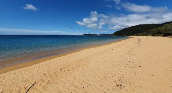
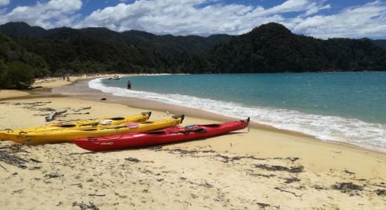
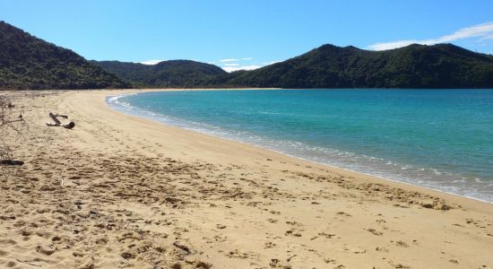
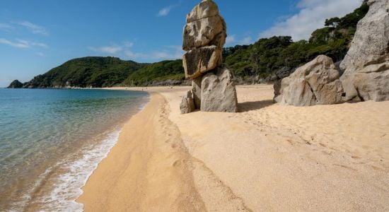
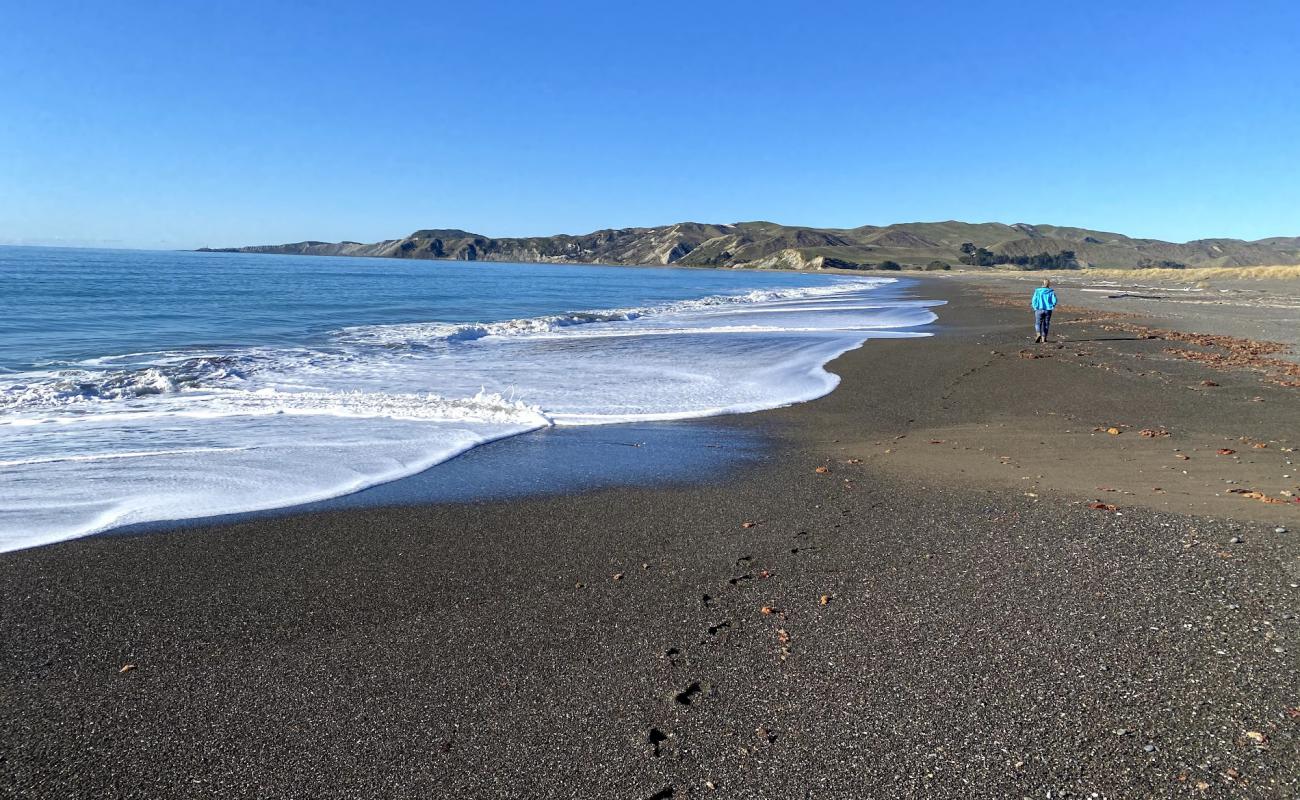
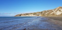
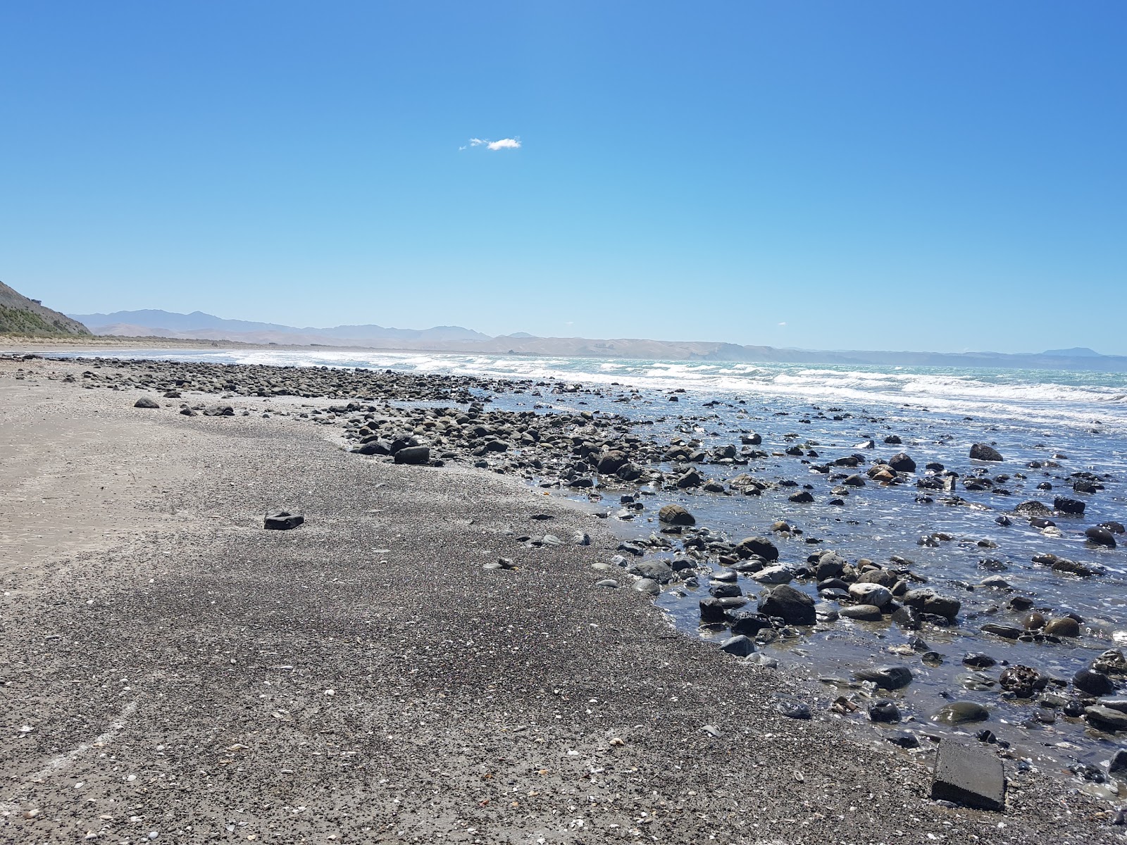
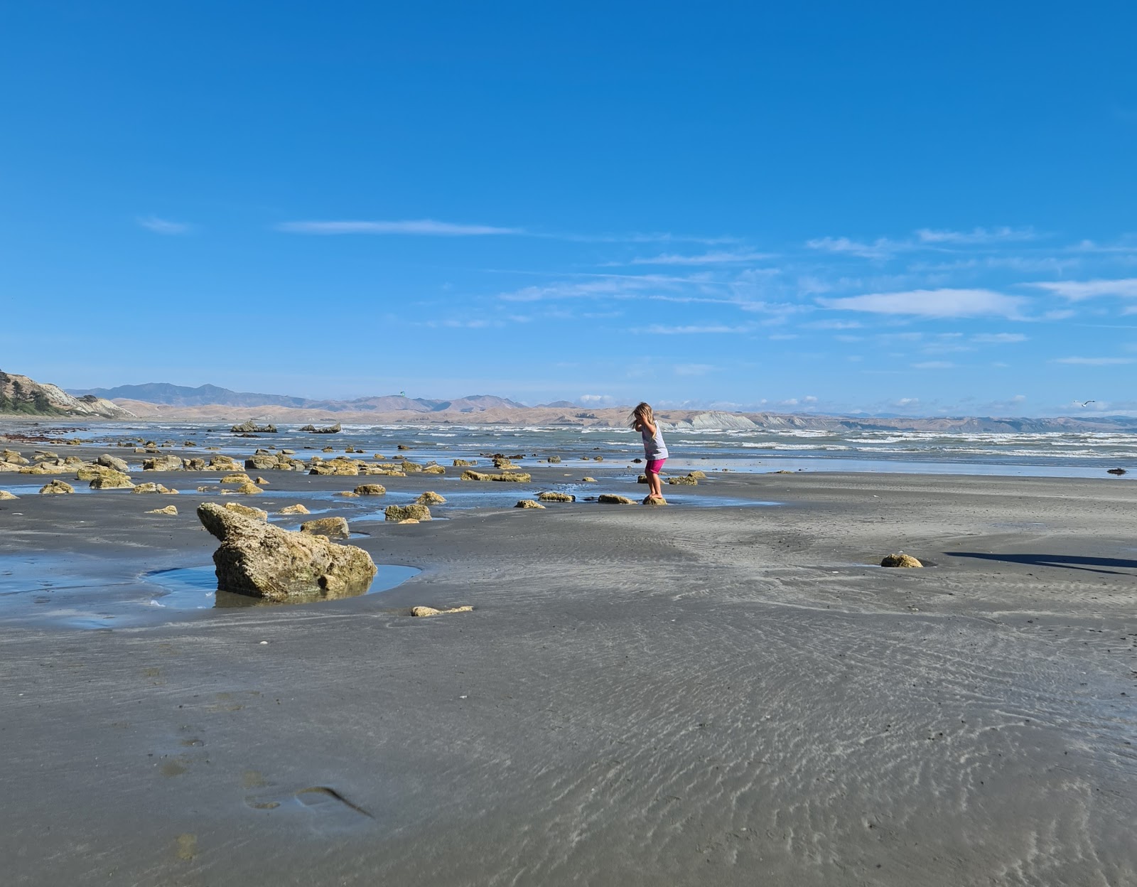
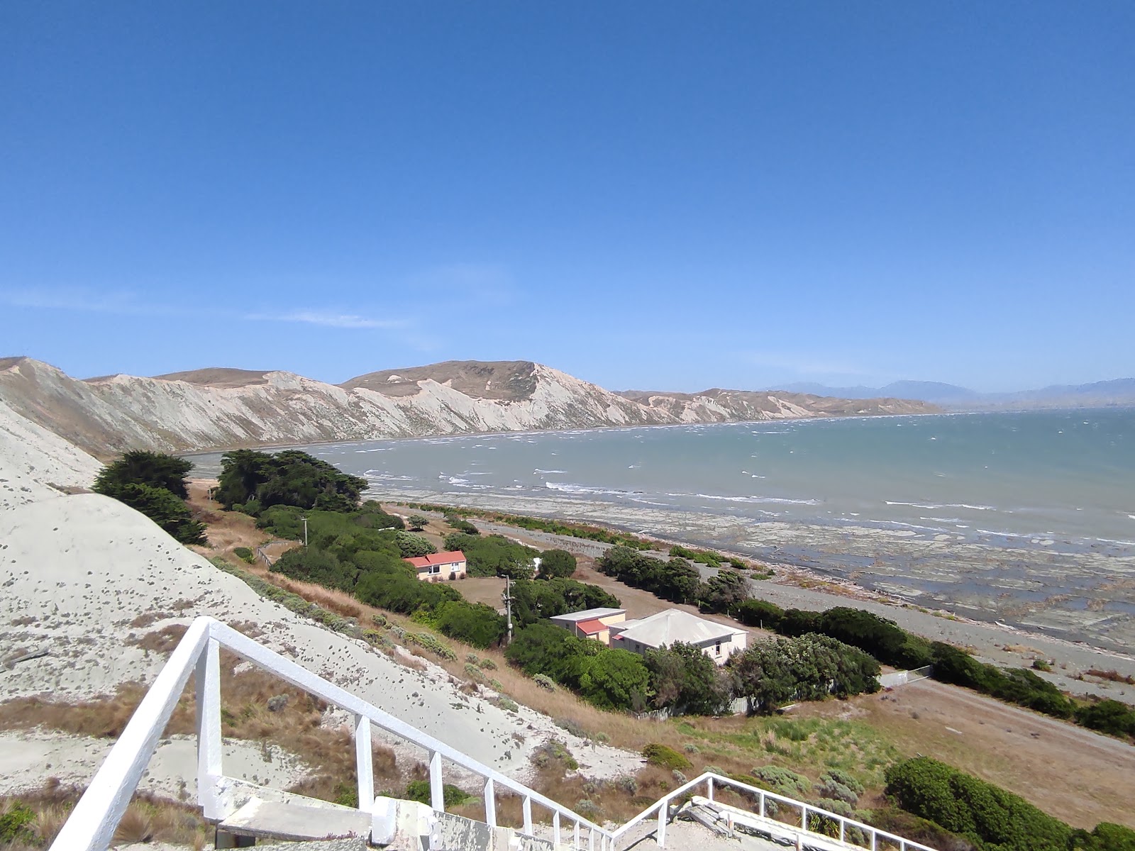
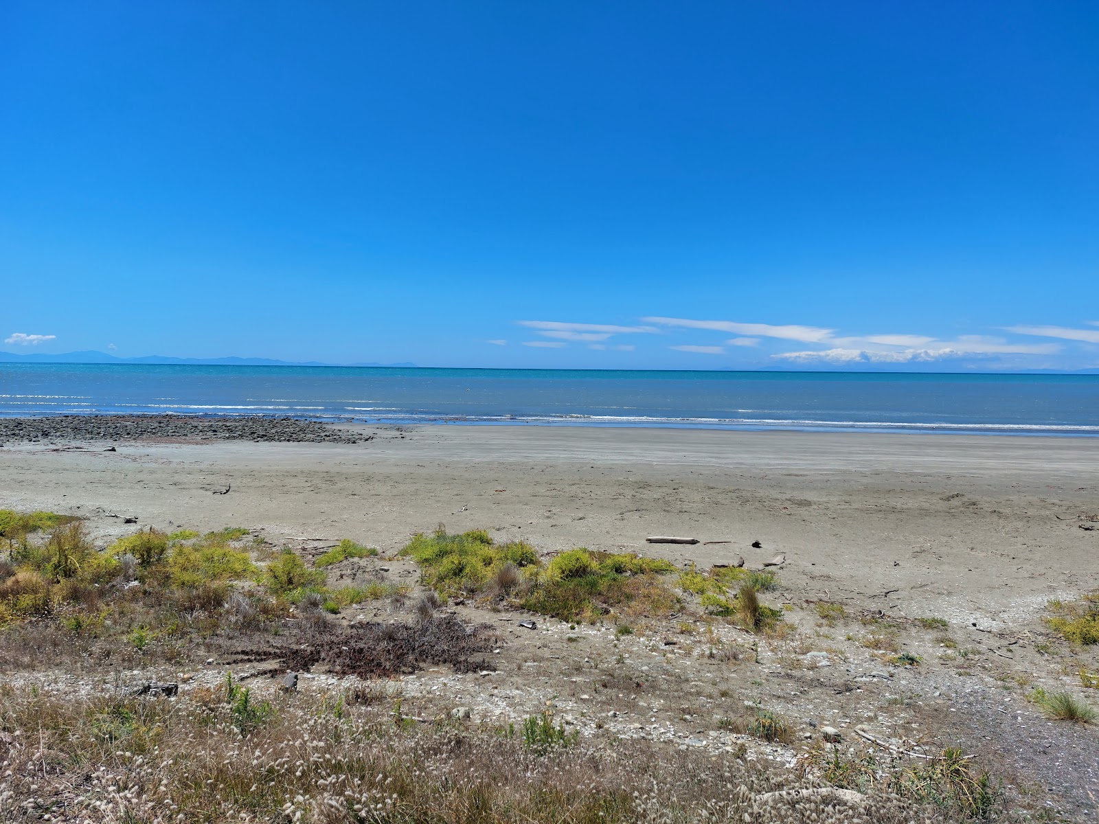
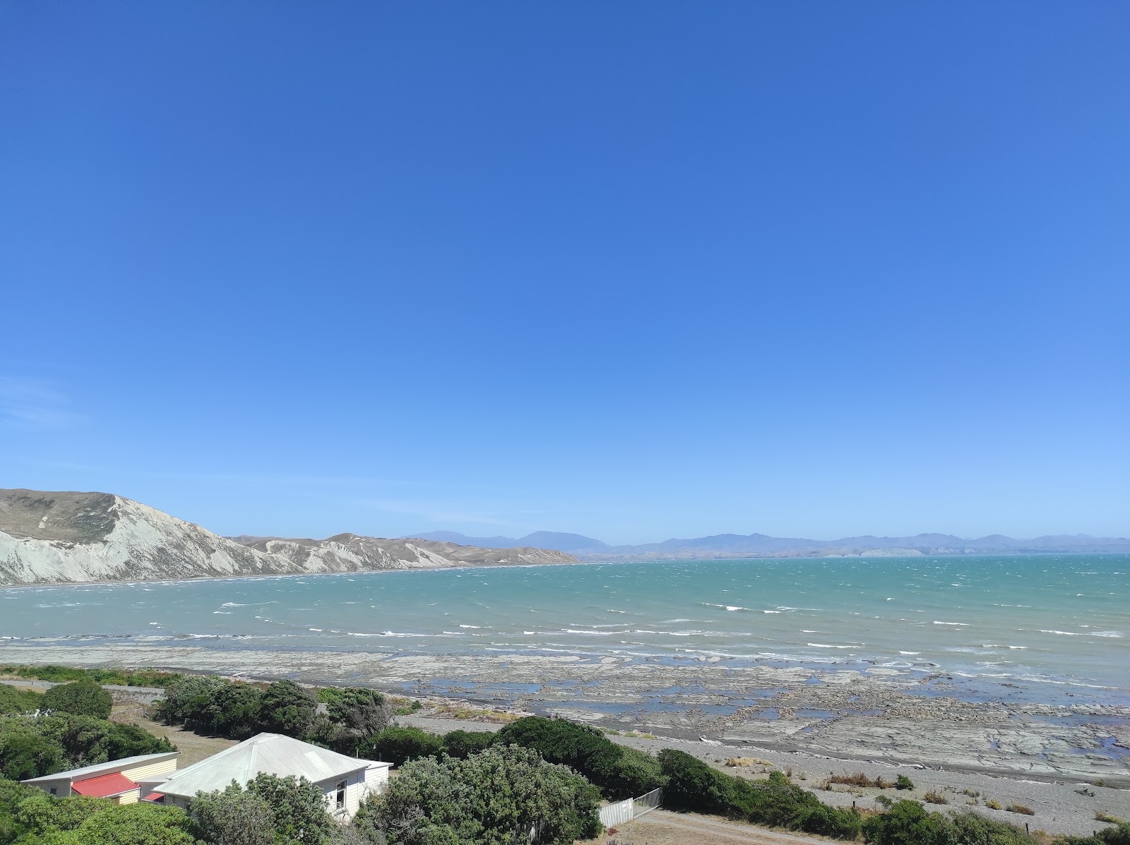
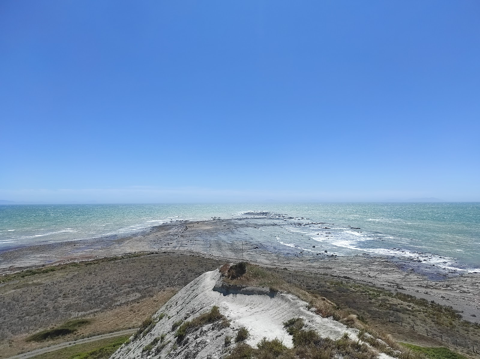
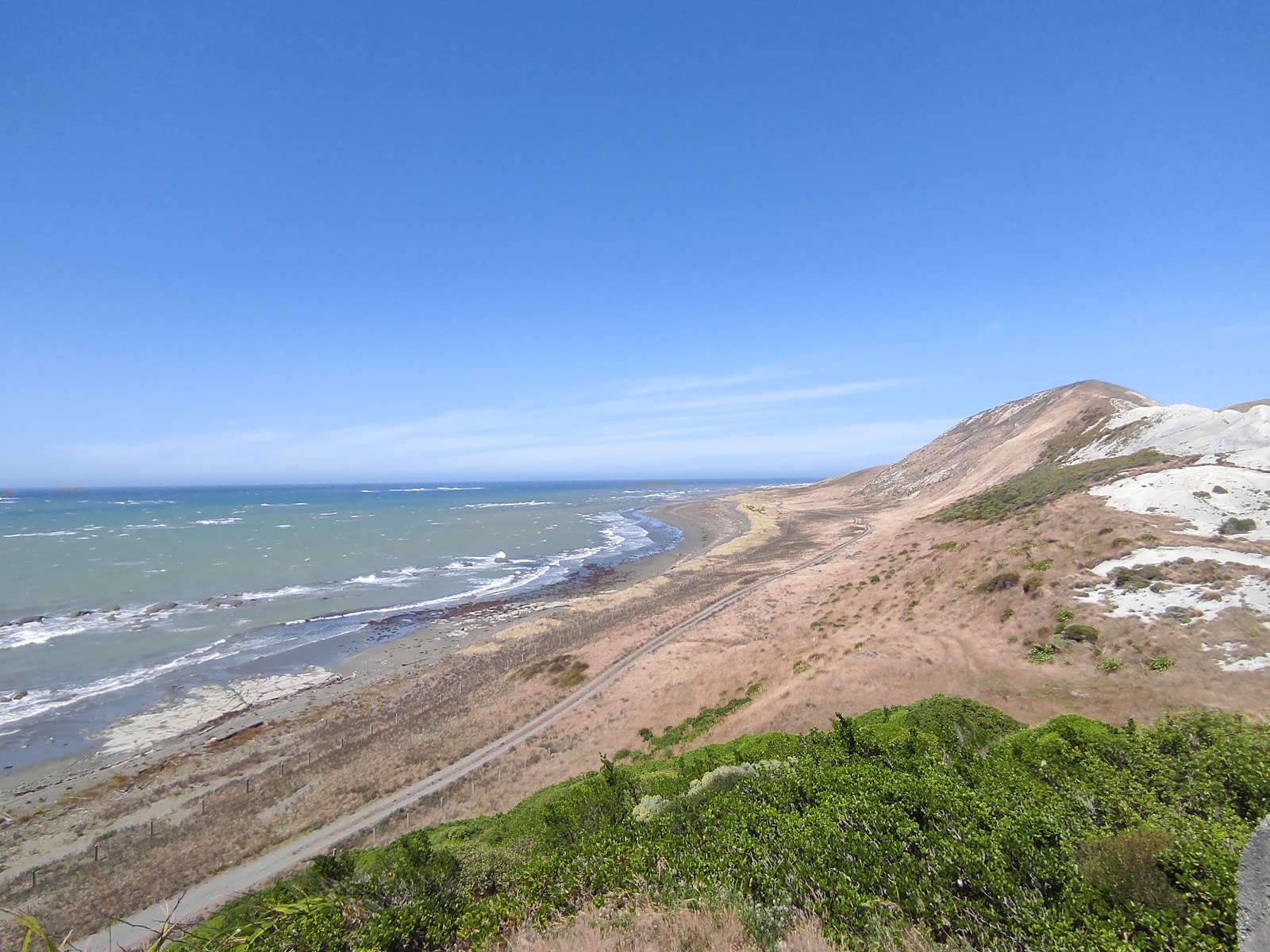
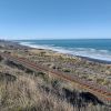
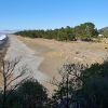
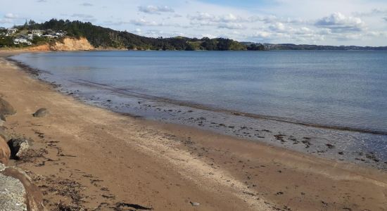
Marfell's Beach
Comment se rendre à
À propos
Accès et Aménagement – Parking
Restez en sécurité, gagnez du temps et informez-vous avant de partir
Temps
Seddon, Région de Marlborough
toutes les plages de la zone actuelle
Public
-
Campeurs itinérantsAire de camping aménagée
-
Voyageurs avec chiens
-
Amateurs de détente
Caractéristiques naturelles
-
Petits galets bruns
-
Fond marin : sable et blocs
-
Augmentation de profondeur : progressive
-
Eau turquoise
-
Sans abri de houle — fortes vagues
-
Large estran
-
Chaussures d’eau obligatoires
Équipements
Activités

Visites de Christchurch à Arthur's Pass + TranzAlpine Train & Lunch
Découvrez les Alpes du Sud à couper le souffle lors de cette excursion d'une journée à Arthur's Pass au départ de Christchurch. Voyagez dans un confort haut de gamme à travers la région alpine de Canterbury, puis revenez à bord du célèbre train TranzAlpine, l'un des trajets ferroviaires les plus spectaculaires au monde. Votre Guide kiwi partage l'histoire et les connaissances des Maoris lorsque vous traversez les rivières tressées de Canterbury. Arrêtez-vous aux gorges de Waimakariri pour des promenades au bord de la rivière et une expérience de bateau à réaction en option. Explorez les formations calcaires de Castle Hill qui ont inspiré la Terre du Milieu, visitez les lacs alpins, y compris le lac Pearson et le lac Lyndon, et arrêtez-vous au belvédère du viaduc Otira. Surveillez le Kea, le perroquet alpin de Nouvelle-Zélande. Au village d'Arthur's Pass, randonnez sur la piste Devils Punchbowl jusqu'à une cascade de 154 mètres ou explorez les boutiques du village. Votre point culminant vous attend : le voyage de retour à bord du train TranzAlpine avec des voitures d'observation en plein air. Veuillez noter que cette visite se déroule en sens inverse en hiver.

Croisière avec nuitée sur le Doubtful Sound
Découvrez la beauté naturelle de Doubtful Sound lors d'une croisière d'une nuit au départ de Manapouri sur l'île du Sud de la Nouvelle-Zélande. Naviguez à bord d'un chaloupe à voile traditionnel à deux mâts (bateau de commerce à fond plat) le long des eaux immaculées des fjords, et admirez un vaste éventail d'animaux sauvages, y compris des dauphins, des phoques et des manchots dans leurs habitats naturels. Veuillez arriver 30 minutes avant votre heure de départ prévue pour vous enregistrer.

Franz Josef Glacier 25 - Minute de vol en hélicoptère avec atterrissage sur neige
Du niveau de la mer au cœur des magnifiques Alpes du Sud, ce vol en hélicoptère de 25 minutes explore les impressionnantes chutes de glace du glacier Franz Josef. Le vol comprend un atterrissage sur neige, une excellente occasion de vraiment profiter de l'environnement et de respirer l'air pur des Alpes.

Expérience d'observation des étoiles à l'Observatoire du Mont John, Tekapo
Notre expérience d'astronomie la plus populaire au centre de recherche astronomique de renommée mondiale. Préparez-vous à une soirée de découverte épatante. Immergez-vous dans un environnement époustouflant, un ciel nocturne immaculé et des technologies d'observation sophistiquées tandis que nos guides Experts partagent la science et les histoires de notre ciel du Sud. Au sommet du sommet de 1 029 mètres du mont John, vous serez au cœur de la plus grande réserve internationale de ciel étoilé de l'hémisphère Sud. Chaque ciel nocturne révèle quelque chose de nouveau. L'incroyable Voie lactée. Des planètes lointaines. Amas d'étoiles, systèmes solaires, constellations. Vous pourriez même entrevoir une galaxie lointaine. Ne manquez pas l'expérience d'observation des étoiles de la Nouvelle-Zélande. En exclusivité avec Dark Sky Project, l'expérience Summit Experience à l'observatoire du mont John est en partenariat avec l'Université de Canterbury.
Hébergements à proximité
Emplacement

Cette plage
Localités
Seddon • 12,3 km
Transport
BHE • 35,9 km
Seddon • 12 km
Blenheim • 31,4 km
Localités
Seddon • 12,3 km
Transport
BHE • 35,9 km
Seddon • 12 km
Blenheim • 31,4 km
Avis des voyageurs
Avis des voyageurs
Partagez votre expérience avec d'autres voyageurs


Région de Marlborough, vérifiez d'autres plages populaires
Plage de Hihi